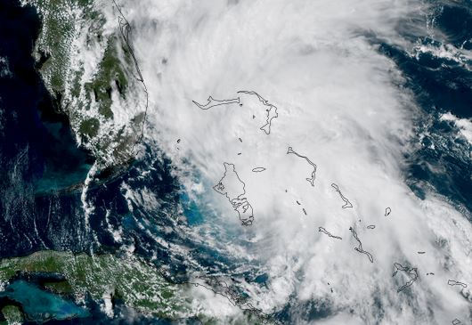
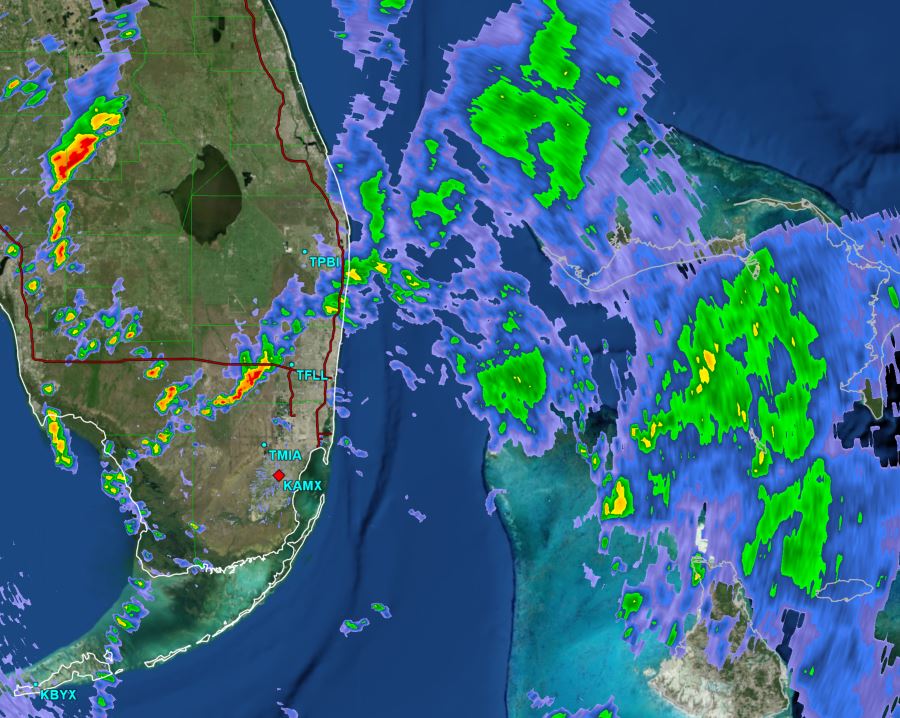
Tropical Storm Warnings for the north and central Bahamas
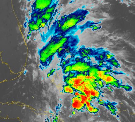
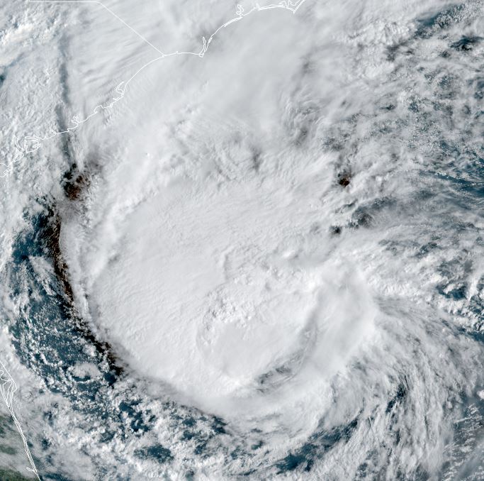
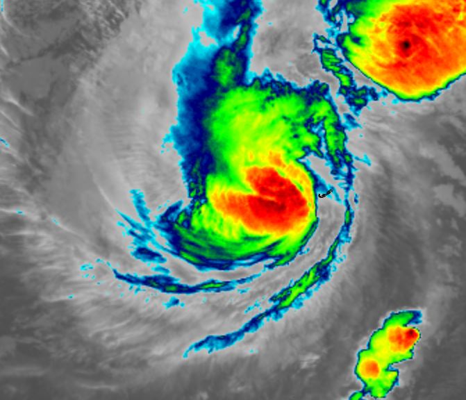
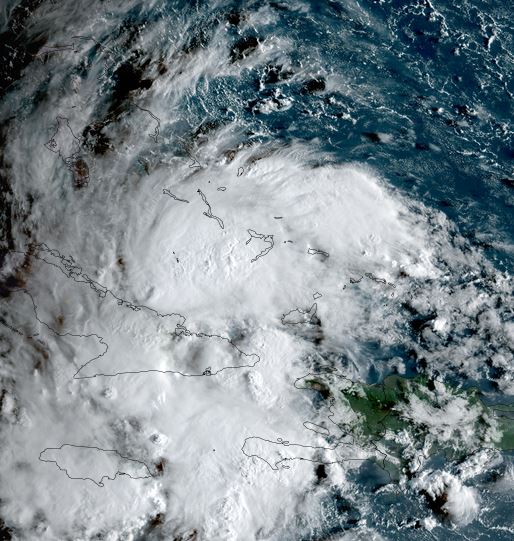
Nine was classified last night. It is still disorganized on satellite imagery, but still is producing very heavy showers over the southern Bahamas southward into the Windward passage to far eastern Cuba, western Haiti and Jamaica. Winds are currently gusting below minimal tropical storm strength - 39 mph.
The Weather Situation
SUMMARY OF 800 AM EDT...1200 UTC...INFORMATION
----------------------------------------------
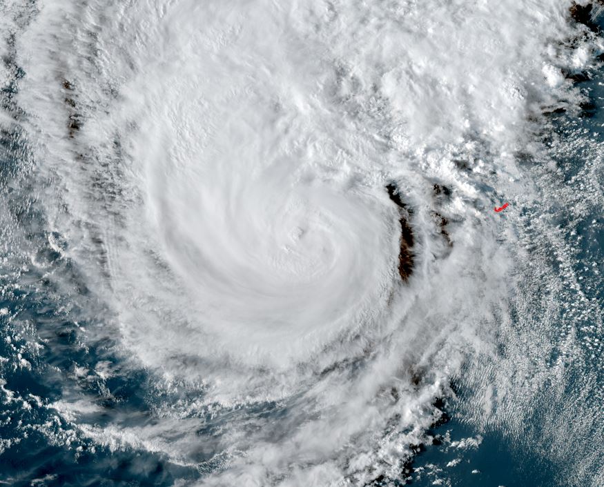
LOCATION...22.0N 75.9W
ABOUT 170 MI...275 KM NW OF THE EASTERN TIP OF CUBA
ABOUT 110 MI...180 KM S OF THE CENTRAL BAHAMAS
MAXIMUM SUSTAINED WINDS...35 MPH...55 KM/H
PRESENT MOVEMENT...NW OR 315 DEGREES AT 7 MPH...11 KM/H
MINIMUM CENTRAL PRESSURE...1005 MB...29.68 INCHES
Tropicast: RAMMB/CIRA slider GOES 19 Visible Satellite
Tropical Weather Forecast:
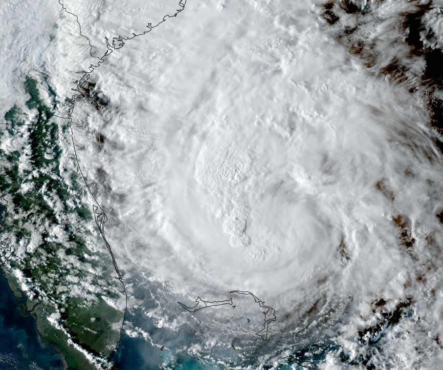
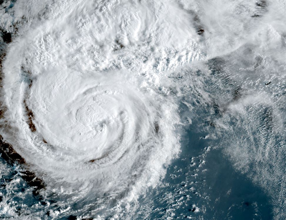
Tropical depression 9 will be tropical storm Imelda soon. It will move north through the Bahamas and east of the Florida east coast through the weekend. Heavy rainfall and tropical storm force wind gusts can be expected. Forecast models are showing that Imelda will become a hurricane as is moves north, and stall east of the Georgia / South Carolina coast as it interacts with a powerful hurricane Humberto further east. It is then forecast to resume an eastward track east into the Atlantic early next week.