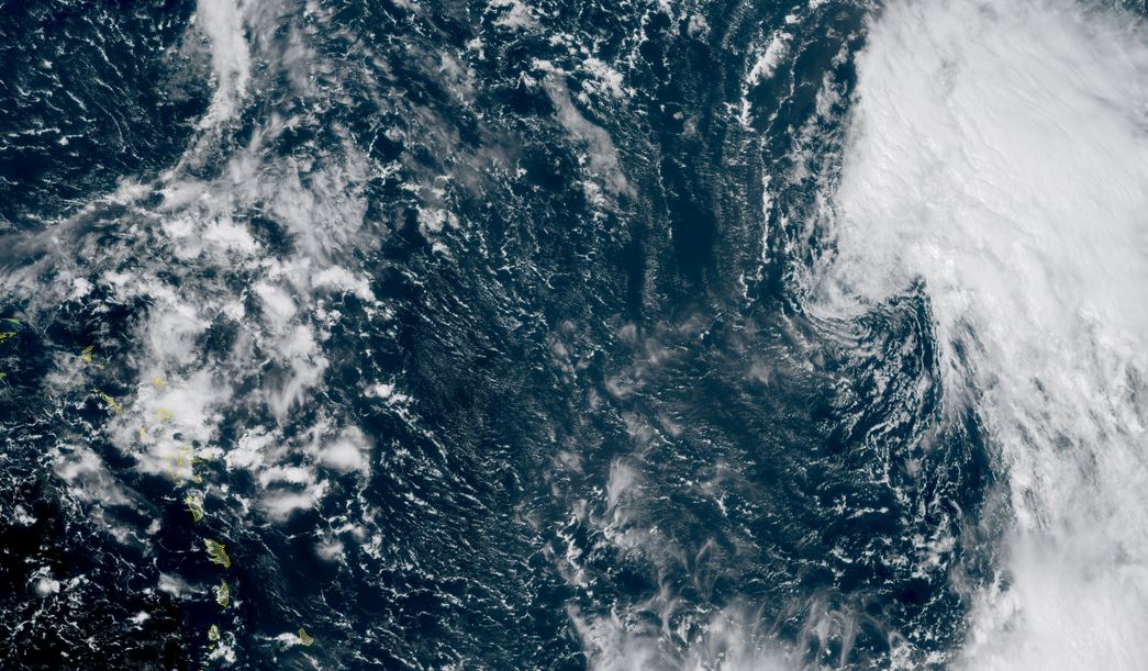
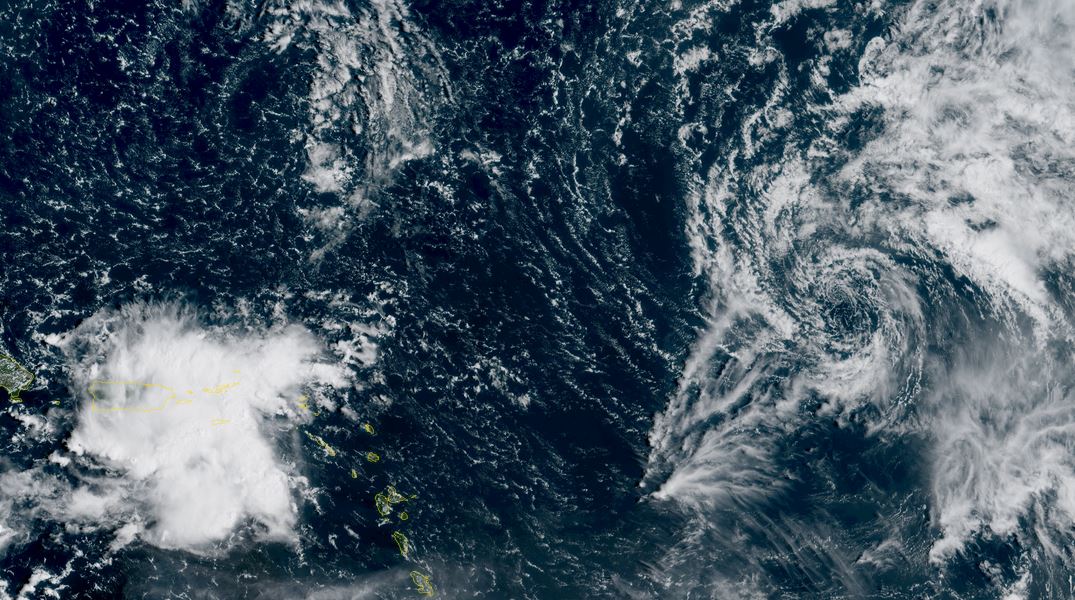
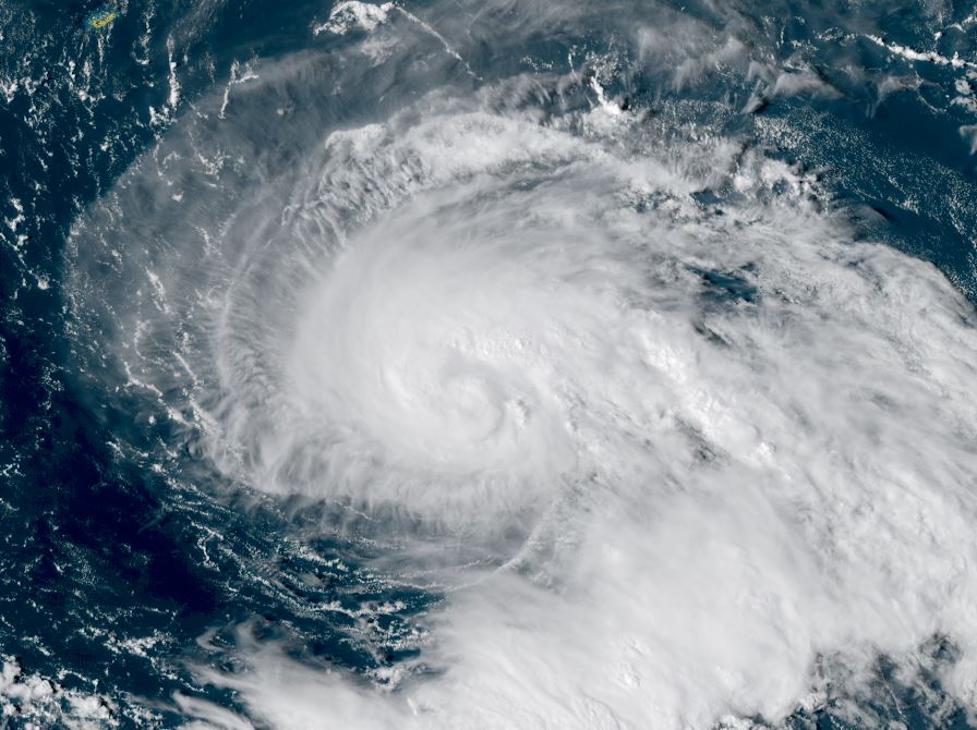
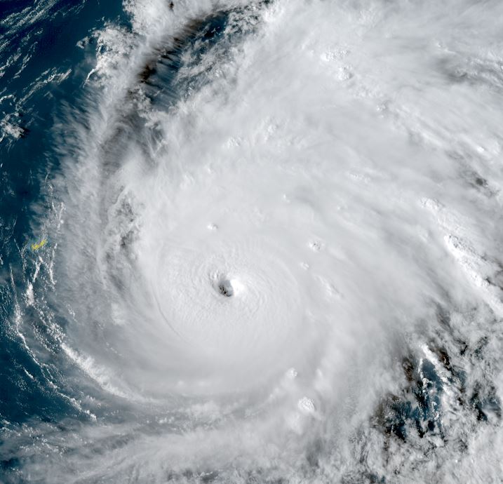
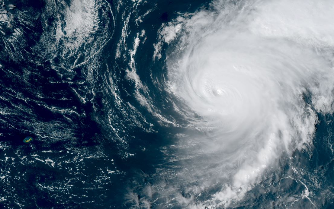
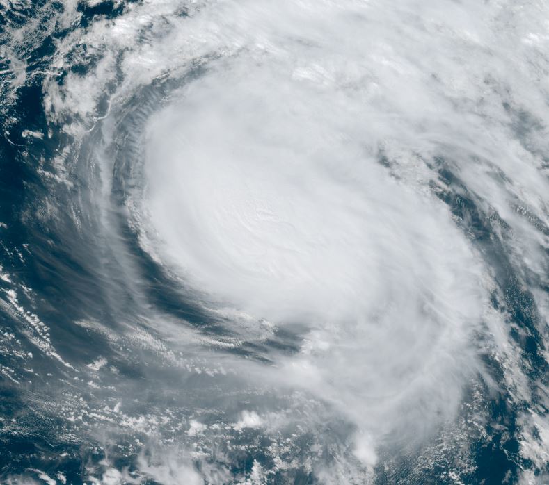
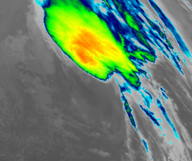
TD 7
A large circulation exists with TD 7 with accompanying deep convection. This system is likely a tropical storm and should be classified as one on the next official NHC advisory
The Weather Situation
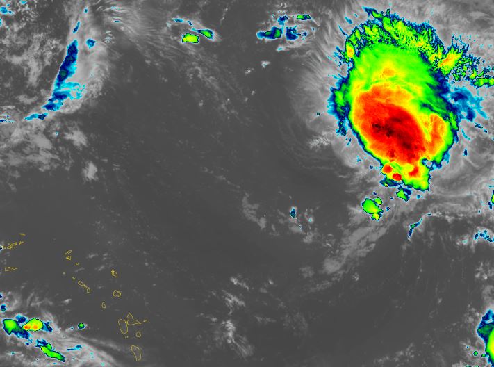
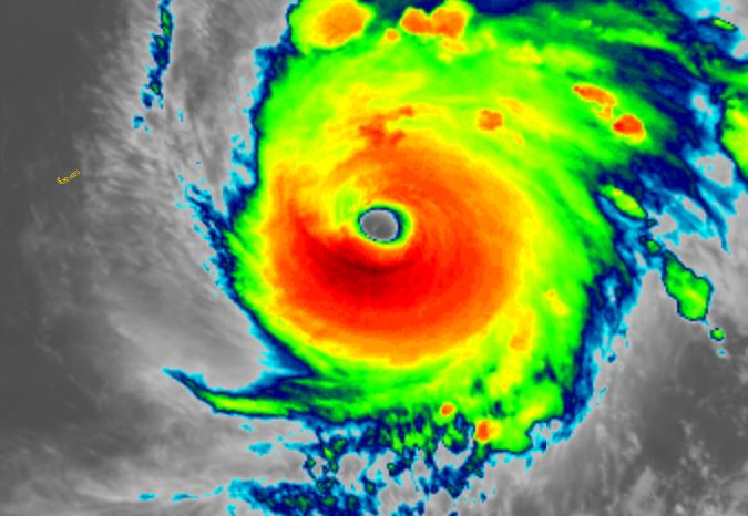
SUMMARY OF 500 AM AST...0900 UTC...INFORMATION
----------------------------------------------
LOCATION...13.7N 45.9W
ABOUT 1185 MI...1905 KM ESE OF THE NORTHERN LEEWARD ISLANDS
MAXIMUM SUSTAINED WINDS...35 MPH...55 KM/H
PRESENT MOVEMENT...W OR 280 DEGREES AT 13 MPH...20 KM/H
MINIMUM CENTRAL PRESSURE...1007 MB...29.74 INCHES
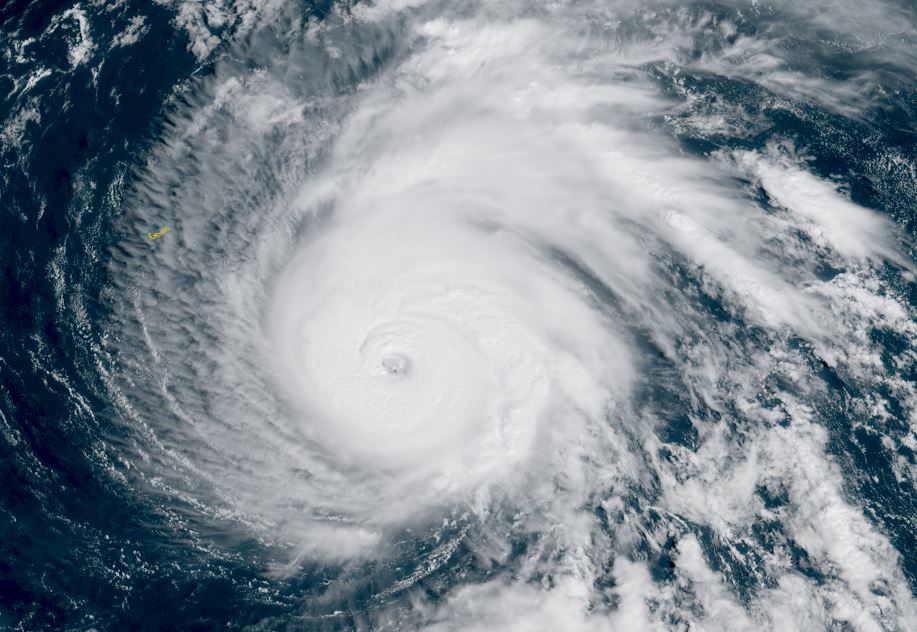
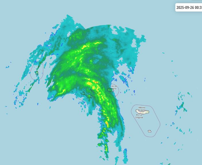
Tropicast: RAMMB/CIRA slider GOES 19 Visible Satellite
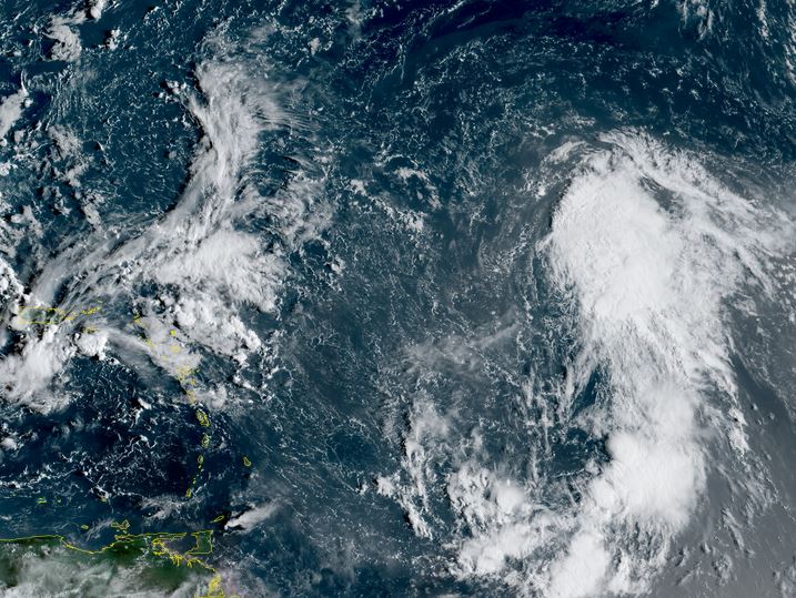
Tropical Weather Forecast:
TD 7 is organizing and will move NW, east of the lesser antilles and likely stay well east of the US coast next week.