Monday Afternoon Update
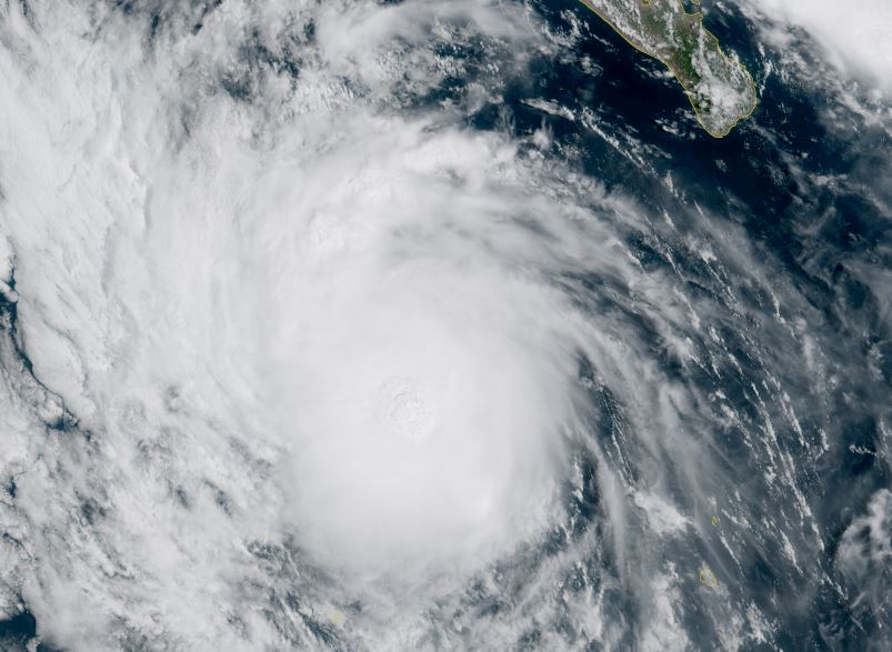
Mario is stronger today
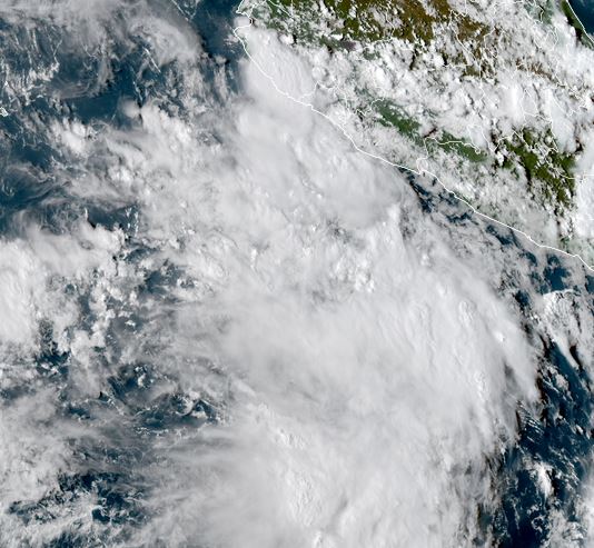
This Monday morning (Pacific time) Mario looks more impressive as a circular area of deep convection is over the core. The heavy showers and storms are offshore, west of the Baja. Strong outflow aloft is also noted east of the storm.
The Weather Situation
SUMMARY OF 800 AM MST...1500 UTC...INFORMATION
----------------------------------------------
LOCATION...20.0N 113.2W
ABOUT 165 MI...265 KM WNW OF SOCORRO ISLAND
ABOUT 290 MI...470 KM SW OF THE SOUTHERN TIP OF BAJA CALIFORNIA
MAXIMUM SUSTAINED WINDS...60 MPH...95 KM/H
PRESENT MOVEMENT...WNW OR 300 DEGREES AT 12 MPH...
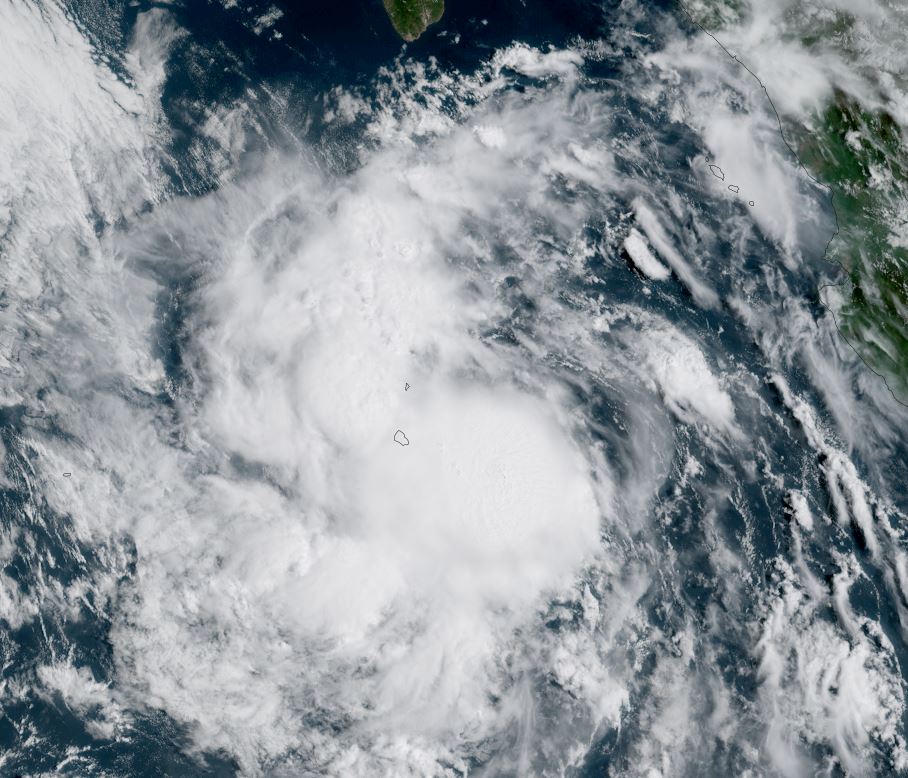
Tropicast: Visible RAMMB/CIRA slider GOES 18 Tuesday Late Afternoon
 Tropical Weather Forecast:
Mario is probably maxing out today just before encountering cooler sea water. It will remain well west of the Baja.