Friday Afternoon Update
Kiko staying strong
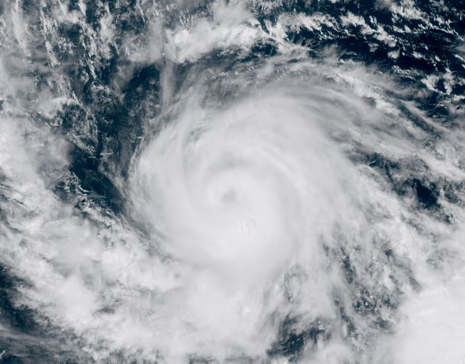
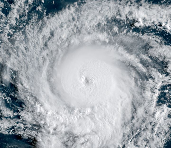
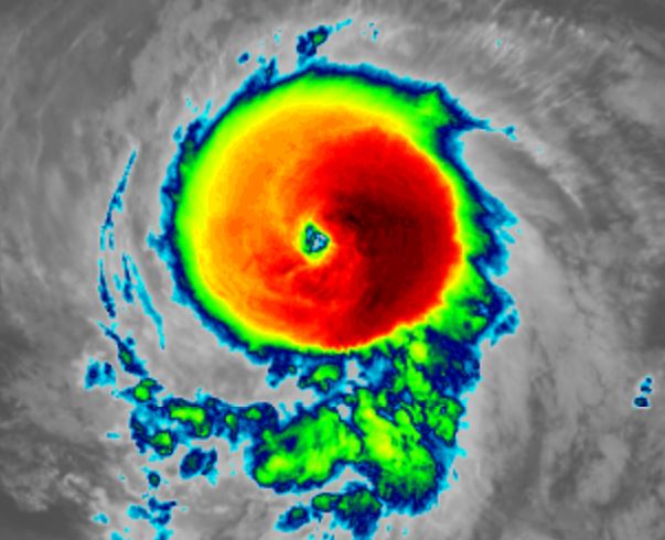
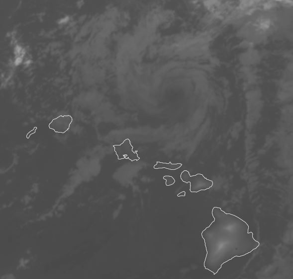
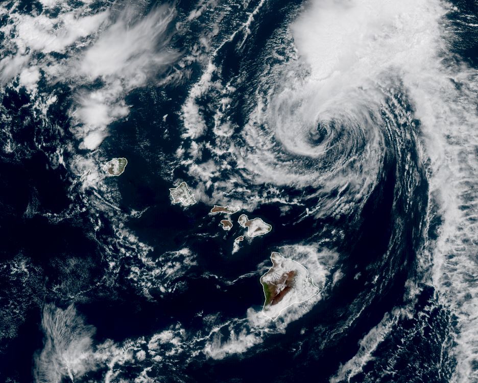
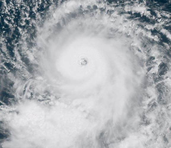
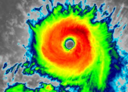
On this morning - Hawaiian time - IR imagery continues to show an impressive eyewall. Yesterday it was much thicker and cloud tops colder indicating a bit stronger. Since that time weakening occurred and now restrengthening again as the eye clears. This reorganizing phase may continue into Saturday before it approaches closer to the Big Island
The Weather Situation
SUMMARY OF 1100 AM HST...2100 UTC...INFORMATION
-----------------------------------------------
LOCATION...14.5N 137.8W
ABOUT 1195 MI...1925 KM ESE OF HILO HAWAII
ABOUT 1400 MI...2255 KM ESE OF HONOLULU HAWAII
MAXIMUM SUSTAINED WINDS...130 MPH...215 KM/H
PRESENT MOVEMENT...WNW OR 290 DEGREES AT 10 MPH...17 KM/H
MINIMUM CENTRAL PRESSURE...951 MB...28.09 INCHES
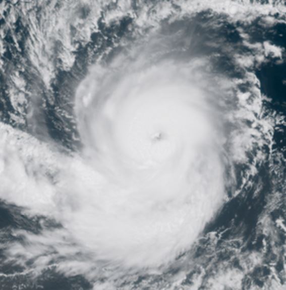
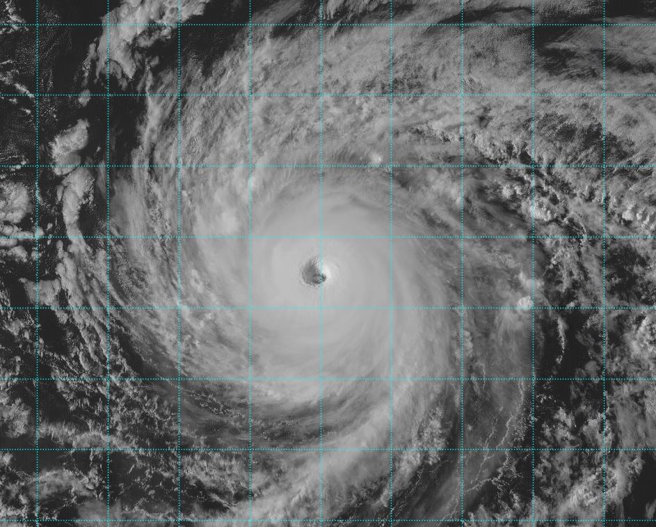
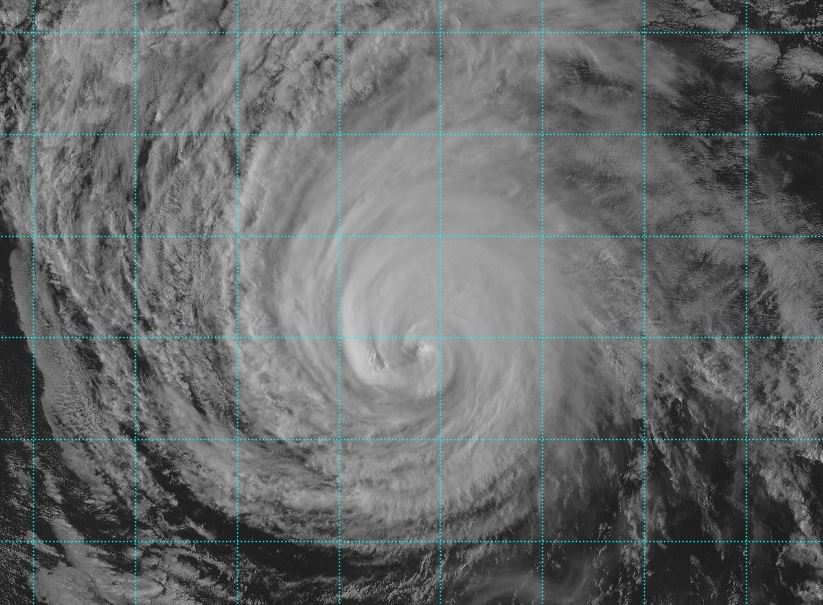
Tropicast: Visible RAMMB/CIRA slider GOES 18
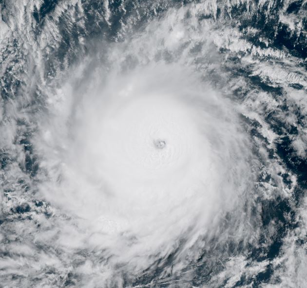
 Tropicast: IR RAMMB/CIRA slider GOES 18
 Tropical Weather Forecast:
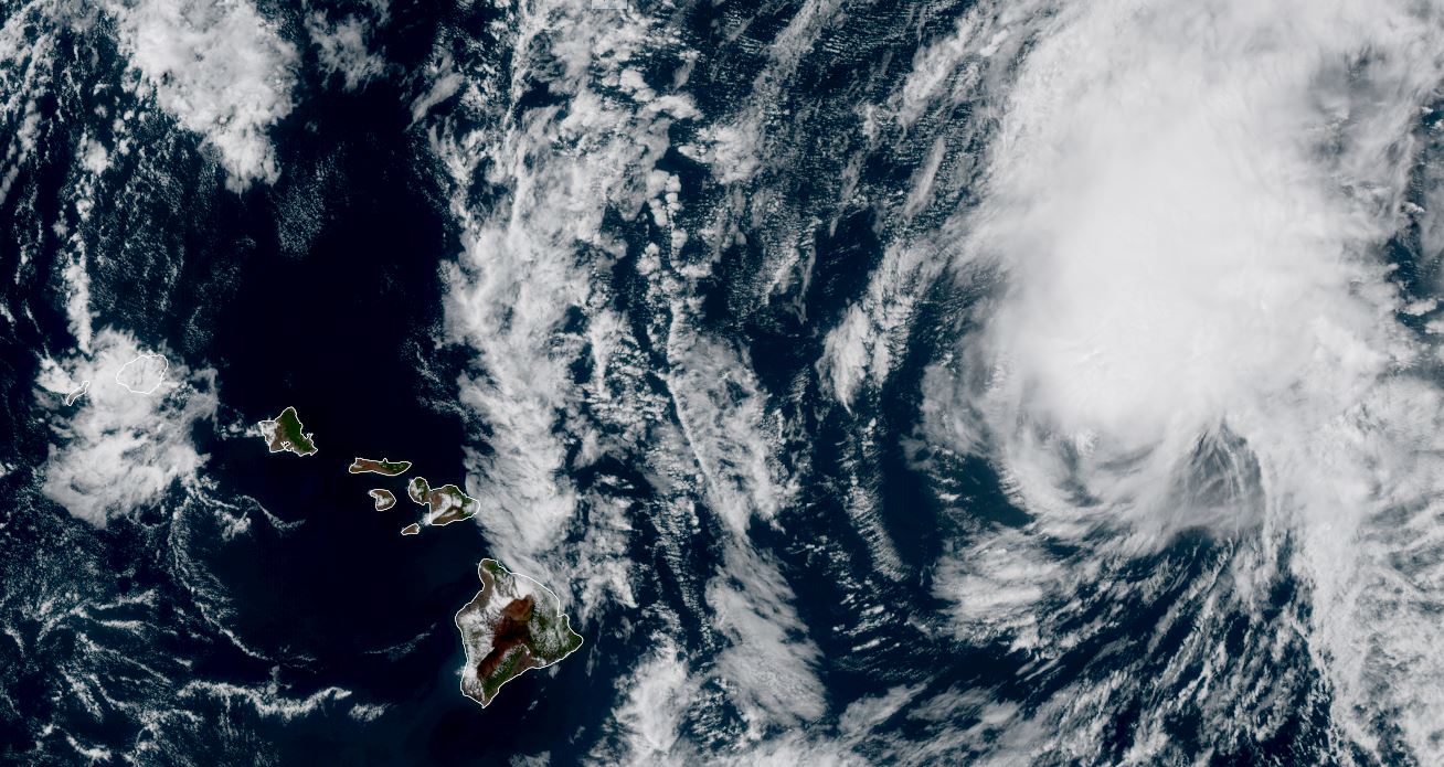
Kiko is forecast to move WNW - NW over the next several days east of the Big Island. It will remain as a strong hurricane for another few days and begin weakening as it approaches the Big Island. It will be a little NE of the Big Island by Tuesday morning with models continuing the track to the north of the Islands.

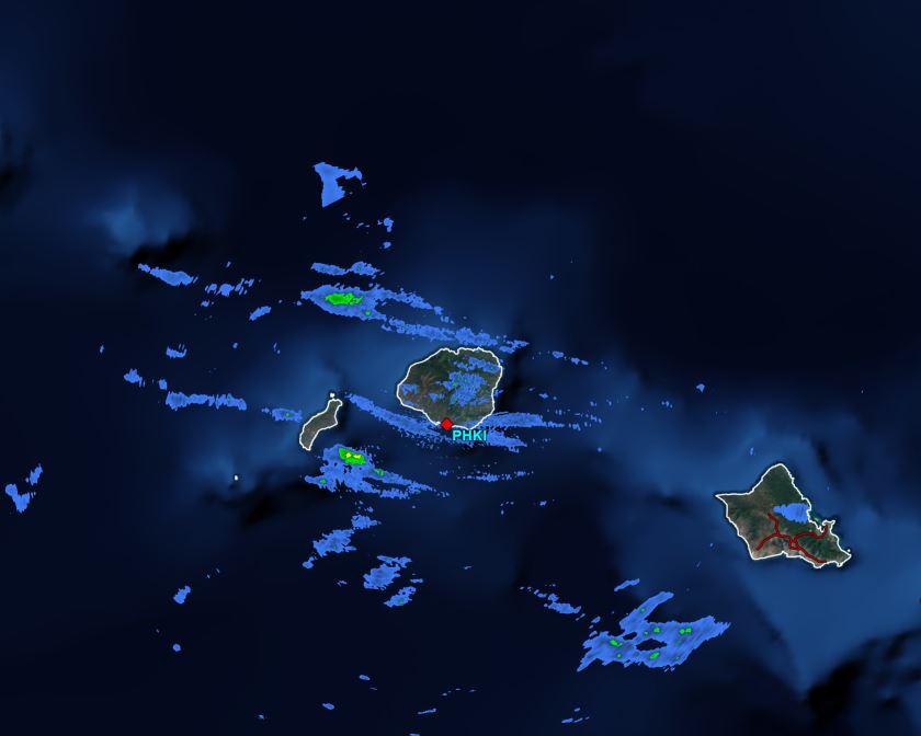
At this time the main effects appear to be higher than normal surf and rip tides, especially on the eastern and northern facing beaches. Interests in the Hawaiian Island should monitor the track of Kiko for any changes.