Sunday Morning Update
Humberto a little weaker
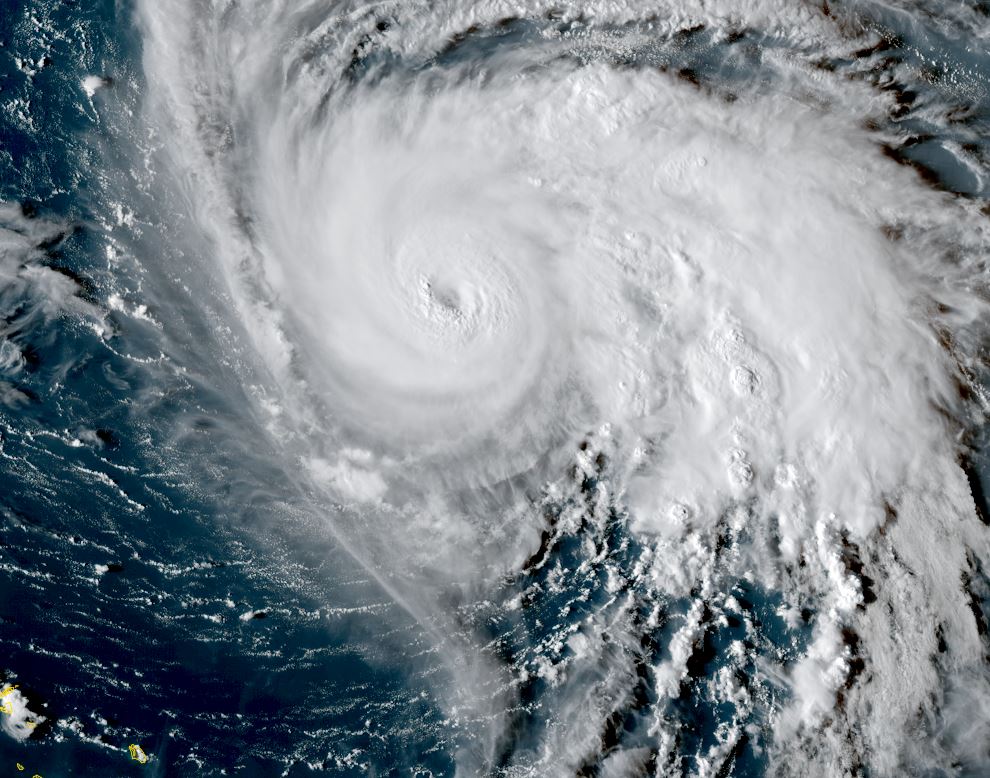
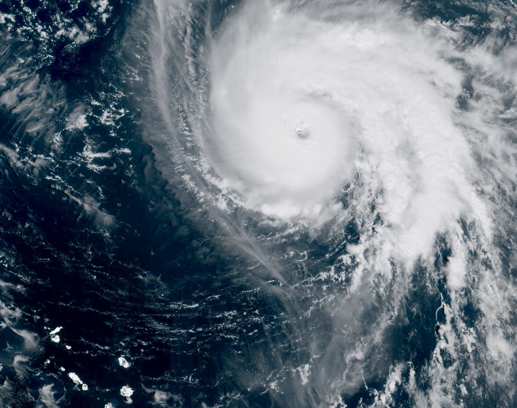
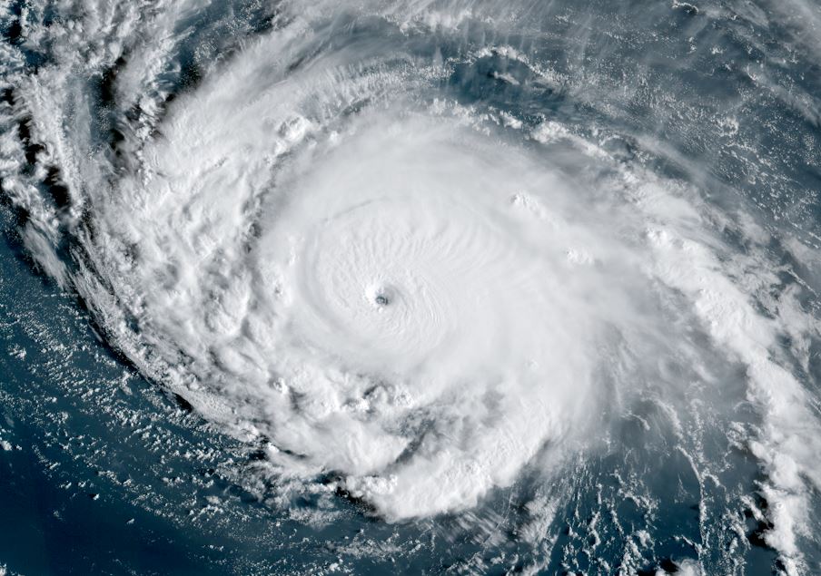
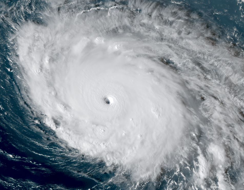
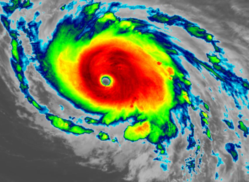
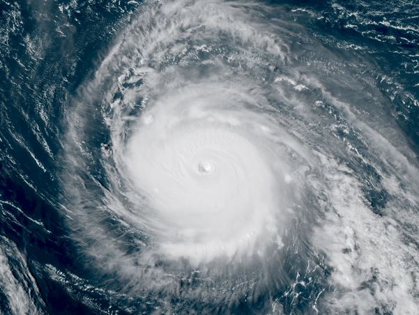
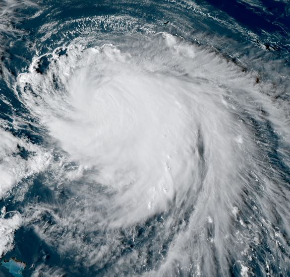
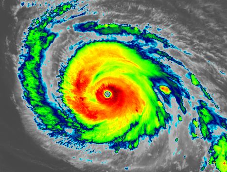
NHC has classified Humberto by satellite classification techniques. As stated by NHC, cloud tops have warmed overnight, indicating weakening. IMO, Humberto may not have been a cat 5, but a cat 4 yesterday. Cloud tops that I have seen with other cat 5 hurricanes seemed to be a bit colder. Anyhow, without direct data from a Hurricane Hunter aircraft - which we did not have - we'll never know for sure.
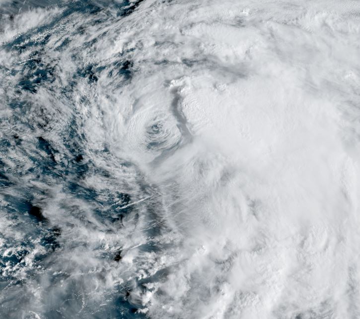
This morning the eyewall is much smaller. It appears that some dry air was entrained into the circulation overnight, which can be seen on the IR imagery below. The eye is now also clouding over. IMO, this hurricane is probably not quite as high as the official estimate.
The Weather Situation
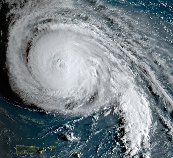
SUMMARY OF 500 AM AST...0900 UTC...INFORMATION
----------------------------------------------
LOCATION...23.9N 63.3W
ABOUT 585 MI...945 KM S OF BERMUDA
MAXIMUM SUSTAINED WINDS...155 MPH...250 KM/H
PRESENT MOVEMENT...WNW OR 300 DEGREES AT 13 MPH...20 KM/H
MINIMUM CENTRAL PRESSURE...929 MB...27.44 INCHES
Tropicast: RAMMB/CIRA slider GOES 19 Visible Satellite
 Tropicast: RAMMB/CIRA slider GOES 19 Visible Satellite
 Tropical Weather Forecast:
Humberto is well NNE of Puerto Rico / Virgin Islands and the only seen effects will be higher than normal surf on the north shores. It will remain well east of the Bahamas, but a twin developing tropical cyclone which will be named Imelda is bringing heavy gusty showers there. Humberto will remain strong for a few days then is forecast to move west of Bermuda into early next week by around Tuesday. After Tuesday it will accelerate rapidly into the northern North Atlantic Ocean.